Drone Mapping
Using a drone with a multispectral camera, hundreds of high quality images are stitched together to create many different maps to assist in farming.
Prescription Maps
Spot Spraying

Spot spraying maps can be downloaded onto the XAG P100 Pro or certain sprayers to provide highly accurate spot spraying operations in fields, on moorland or many other areas.

Variable Rate
Just like the spot spraying maps, the variable rate maps can be downloaded onto either the XAG P100 Pro or certain Sprayers. This allows them to undertake variable rate application onto land.
digital Maps

Orthomosaic
An intuitive representation of your field that helps you scout and identify issues faster.
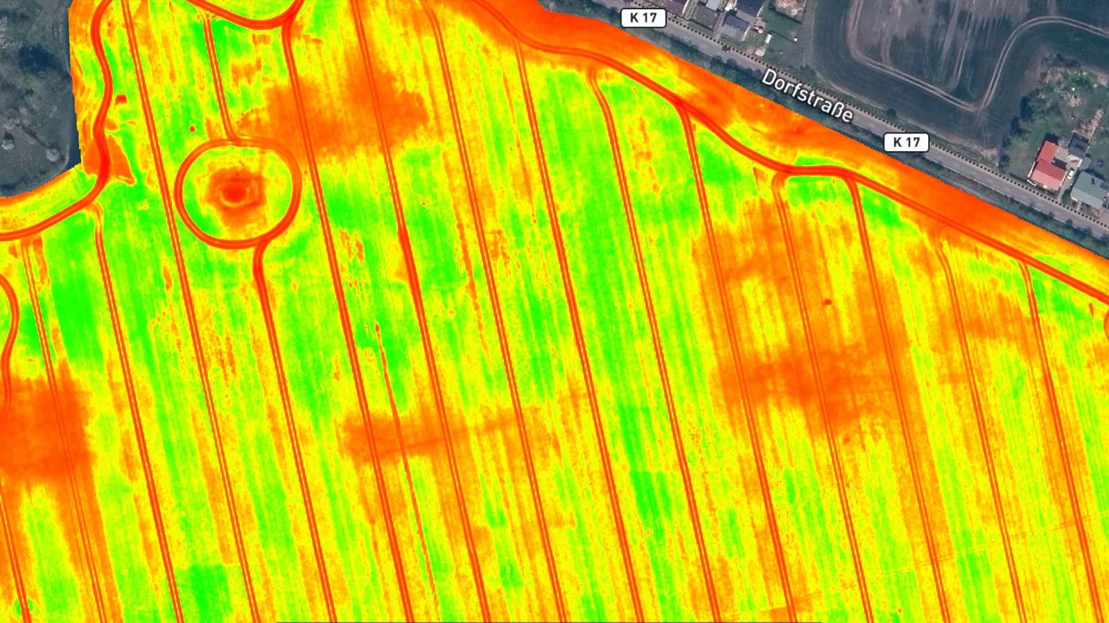
Vegetation Index
Use a predefined list of vegetation indices like NDVI or use custom index formulas for a more comprehensive understanding of your crops.

Annotations
Convey valuable and actionable information by adding annotations (text and photos) to your maps.

Digital Surface Model
Get more detail about your fields and pinpoint erosion-prone areas with an elevation model of your field.